Detect Oil Spills
Works day and night, in dust and clouds, ensuring data availability at all times


Oil spills remain one of the most persistent threats to marine environments. In many cases, vessels deliberately discharge toxic waste into open waters to avoid regulatory costs and operational delays. These incidents often go unnoticed, causing long-term damage to ecosystems, marine life, and water quality.


Illegal Dumping at Scale
Many ships deliberately dump toxic waste in open waters to bypass costly pollution prevention equipment or avoid paying for treatment at port facilities.
Vessels Escape Accountability
Most dumping happens in open waters — unobserved — and by the time it's detected, the responsible ship has already escaped prosecution.
Red Sea Under Threat
The Red Sea faces this threat acutely, with more than 10% of global shipping trade passing through it while 90% of international trade relies on global shipping.
Works day and night, in dust and clouds, ensuring data availability at all times
Clear, high-resolution images in suitable weather conditions
Automated pipelines for rapid transformation of raw data into actionable insights

Hazard assessment of oil spills along the main shipping lane in the Red Sea
SAR satellite imagery combined with AIS vessel tracking data to identify polluters

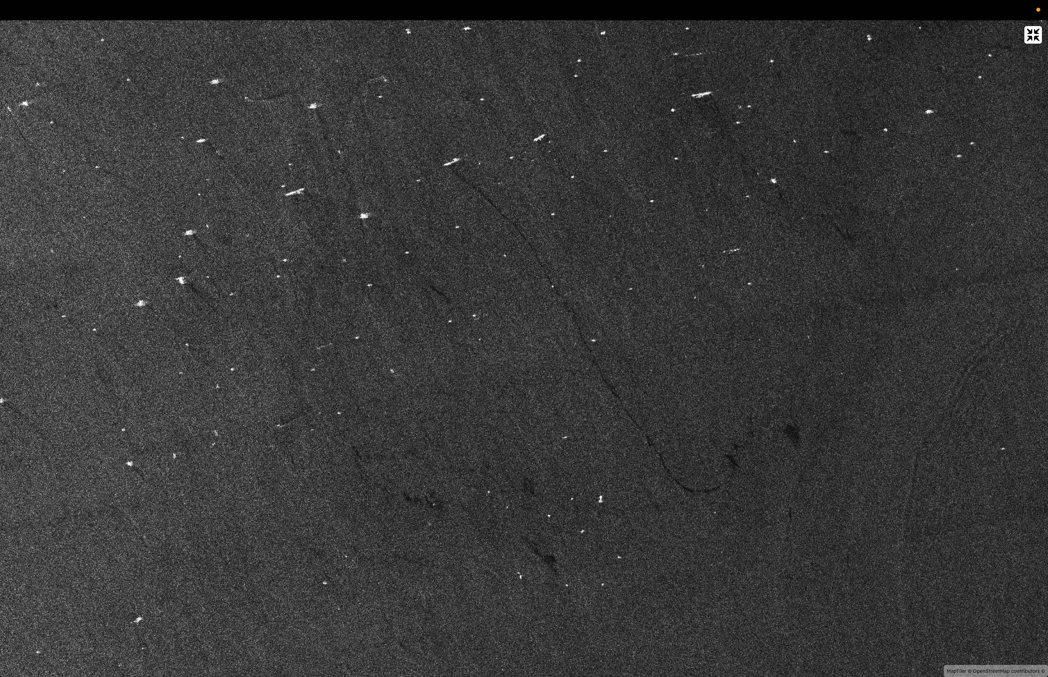
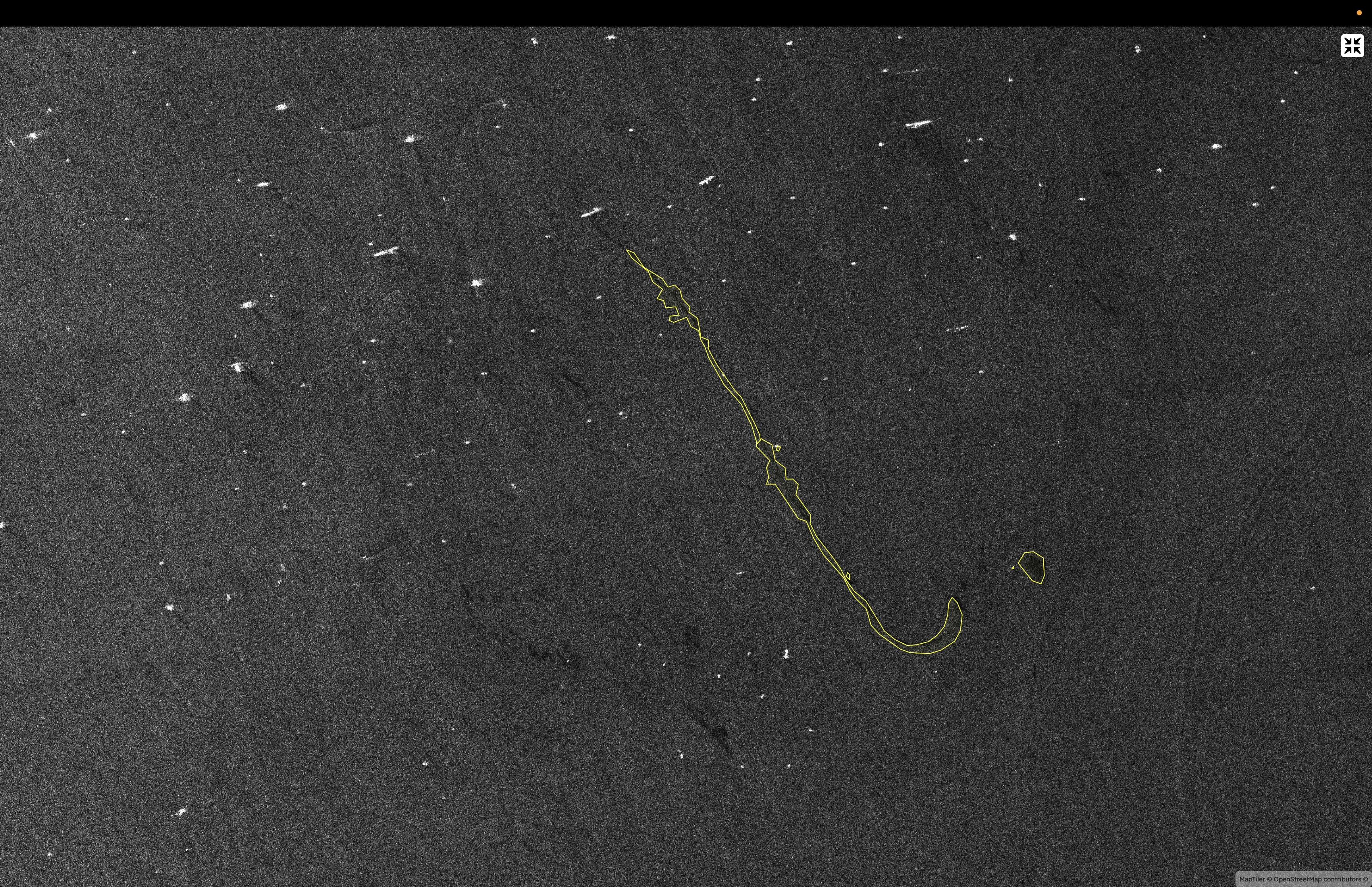
SAR satellite captures ocean surface imagery showing oil spill signatures in all weather conditions

Vessel tracking signal continuously transmitted by all ships showing position, course, and speed

Correlation of spill location with vessel position identifies the likely polluter with high confidence
SAR Data
Oil spill detection
AIS Data
Vessel position
Polluter ID
Evidence-based prosecution
The environmental impact is significantly rewarding. The provided information to environmental law enforcement can be used to prosecute vessel polluters.
Evidence provided to environmental law enforcement enables prosecution of vessel polluters, establishing accountability and legal consequences for illegal dumping.
The oil dumping will be reduced and will keep toxics away from our waters, protecting marine ecosystems and preserving ocean health for future generations.
In case of a major oil spill, real-time and continuous data can assist the work on the recovery process of the disaster area.
Real satellite imagery showing raw SAR data and AI-processed detection output